How to Find Breaking Calabasas News and Emergency Updates
Staying ahead of fires, storms, and local events in Calabasas has never been easier. With real‑time alerts from Genasys Protect, Nixle text notifications, and the Los Angeles Count...

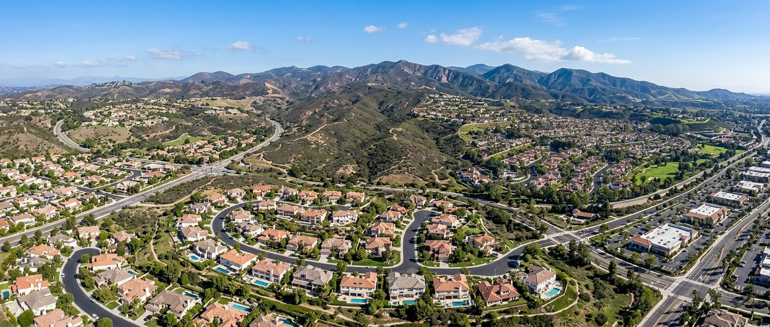
Calabasas · Community Photo
Staying ahead of fires, storms, and local events in Calabasas has never been easier. With real‑time alerts from Genasys Protect, Nixle text notifications, and the Los Angeles County Sheriff and Fire Department, residents receive verified updates the moment a situation develops. The city’s 1630 AM radio broadcast and CTV Channel 3 on Spectrum cable provide a reliable backup for those offline, while community journalism from The Acorn and Calabasas Patch delivers the neighborhood stories that matter. By signing up for zone‑based notifications, you can see exactly which streets and neighborhoods are affected, whether a wildfire encroaches the Santa Monica Mountains, a power outage strikes the hills, or a road closure limits canyon access. Emergency radio at 1630 AM and the live dispatch feed from the Malibu/Lost Hills LAS‑D Station ensure you never miss a critical advisory, even if cellular service falters. All of these channels converge in one place, giving you instant access to Calabasas breaking news and the safety information you need to protect your family and property. Whether you are a homeowner, parent, or small‑business owner, the unified system lets you act quickly, share accurate information with neighbors, and stay connected to the pulse of the community. Learn how to find breaking Calabasas news and emergency updates by enrolling in the city’s alert system today.
Why Multiple Verified Channels Matter
Living in Calabasas means enjoying spectacular views of the 101 freeway corridor and the foothills of the Santa Monica Mountains, but that same setting places the community in a high‑risk zone for fast‑moving wildfires and sudden road closures.
When wind gusts sweep across dry brush, fires can ignite near Malibu Canyon Road or Topanga Canyon, threatening both residential neighborhoods and the main arteries that connect the city to surrounding areas. Regional weather patterns shift quickly, turning a clear morning into a hazardous afternoon in minutes.
During those critical moments, unvetted rumors on social media often spread faster than official statements, leading to confusion and unsafe decisions. Calabasas residents should therefore prioritize official municipal alert networks—such as the Genasys Protect platform and Alert LA County—alongside trusted local reporting from The Acorn and Calabasas Patch.
In addition to city alerts, the Malibu/Lost Hills Sheriff's Station and LA County Fire provide incident‑level updates via phone, text, and the Nixle service (texting your ZIP code to 888777). By enrolling in zone‑based notifications and listening to the city’s 1630 AM radio broadcast or CTV Channel 3, families receive reliable Calabasas emergency updates that cut through the noise.
Redundancy is essential: having at least three independent sources—municipal alerts, county fire notices, and local news—ensures you receive the same critical information even if one channel is disrupted.
Understanding how to find breaking Calabasas news and emergency updates is the first step toward community resilience. Keep multiple channels active, stay informed, and let trusted sources guide your response when emergencies arise.
Calabasas Emergency Alerts: Emergency Alert Sign‑Up
Alert Network | Managing Agency | Coverage Scope | Delivery Channels (Text/Email/Voice) | How to Sign Up |
|---|---|---|---|---|
Genasys Protect (City of Calabasas) | City of Calabasas | City of Calabasas zone‑based alerts (Santa Monica Mountain region/local zones) | Text, Email, Voice | Visit the City of Calabasas official website public safety section or access the platform directly at protect.genasys.com. Enter your address into the interactive map search bar to find your specific zone. Open the left‑hand panel pop‑up and click the green bell icon button labeled “Subscribe to Alerts” to register your contact details. This completes the Emergency alert sign‑up for Genasys alerts. |
Nixle | Los Angeles County Sheriff's Department (LASD) and Los Angeles County Fire Department | Local municipal and regional areas covered via LASD (including the Malibu/Lost Hills Station serving Calabasas) | Text, Email | Text only: Text your local ZIP code to 888777. Full registration (Text & Email): Go to www.nixle.com to set up a personalized user profile, register email addresses/phone numbers, and select specific agency feeds such as LASD Headquarters Newsroom and your local station. |
Alert LA County | County of Los Angeles (Chief Executive Office / Office of Emergency Management) | Los Angeles County region (including Calabasas) | Text, Email, Voice | Visit the registration portal at alert.lacounty.gov. Provide your phone number, email address, or both on the portal registration form and follow the prompts to create or update your profile. Save the designated contact numbers/addresses: Phone alerts show as (213) 255‑3911, emails from noreply@genasys.com, and text messages from Sender ID 65513. |
Why Register Your Physical Address for Calabasas Emergency Alerts
Alert LA County sends evacuation and safety notices through the Genasys Protect platform. Because mobile towers broadcast alerts based on tower proximity rather than the precise location of a household, a text or voice message can be routed to the wrong neighborhood zone. By adding your exact residential address to the Genasys registration—alongside your cell number—you tie your phone to the hyper‑local polygon that matches your street. This ensures that when a fire or landslide triggers a zone‑specific warning, the alert arrives from the sender ID65513and the phone number(213) 255‑3911directly to the households inside the affected polygon, rather than being filtered through a broader tower area.
When you complete the Emergency alert sign‑up on the Alert LA County portal (or via the Genasys Protect app), you also provide an email address, which will receive messages fromnoreply@genasys.com. The combination of address, phone, and email creates a layered delivery method: SMS, voice call, and email all point to the same precise location. Residents who rely only on carrier‑based alerts may miss a polygon‑level evacuation order, even though nearby homes receive it. Registering your physical address eliminates that gap and keeps you in the loop for every Calabasas emergency alert that matters to your street.
For countywide situational awareness, you can also opt in to Nixle by texting your Calabasas ZIP code—91301or91302—to888777. This free Emergency alert sign‑up delivers real‑time updates from Los Angeles County Sheriff and Fire directly to your mobile device, complementing the hyper‑local Genasys notifications and giving you a comprehensive view of breaking events across the city.
Live Calabasas Fire Updates and Evacuation Zones
Wildfire Incident Monitoring
Live tracking for Calabasas fire updates is coordinated byCAL FIRE incidentsand the Los Angeles County Fire Department. Both agencies publish containment percentages, burned‑acreage totals, and real‑time fire‑perimeter behavior. Comparing these feeds with official incident maps lets residents gauge the current threat level.
Containment data:Updated hourly to reflect progress.
Acreage totals:Shows the scale of each fire.
Perimeter behavior:Highlights wind‑driven changes.
Evacuation Zone Navigation
Emergency alerts use the Genasys Protect platform, which defines Calabasas evacuation zones across the community. Zones south of the US‑101 Freeway from Lost Hills Road to Topanga Canyon Boulevard carry alphanumeric IDs such as CAL‑C401 through CAL‑C415. Residents should look up their property’s zone before an incident so they know exactly when a warning or mandatory order applies.
Zone examples:CAL‑C401, CAL‑C402, CAL‑C415.
Action step:Record your zone ID for rapid compliance.
Law Enforcement & Transit Corridors
TheMalibu Lost Hills Sheriffs Stationmanages road closures and canyon safety for the area. Non‑emergency inquiries are directed to 818‑878‑1808, while 911 handles urgent requests. Key corridors—Malibu Canyon Road, Las Virgenes Road near Lost Hills Road, and the Ventura Freeway (US‑101)—are continuously monitored for rockslides, utility repairs, and incident perimeters.
Contact (non‑emergency):818‑878‑1808.
Primary arteries:Malibu Canyon Rd, Las Virgenes Rd, US‑101.
Staying Informed
Following this guide equips you to stay informed and act quickly, answering the question of how to find breaking Calabasas news and emergency updates whenever fire activity or traffic disruptions arise.
Calabasas Tiered
Emergency Protocol
Understanding the three-level system used by the City of Calabasas lets households and businesses react with the right urgency when a fire or other danger emerges — broadcast through multiple official channels.
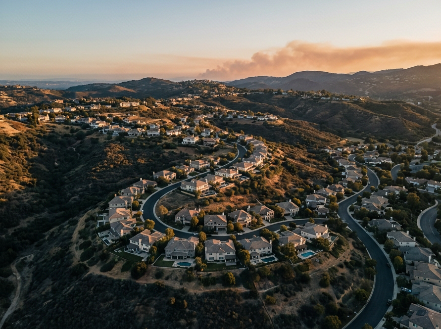
Evacuation
Warning
Impending or potential danger to life or property. Time is available to prepare.
- Prepare go-bags: medication, documents, cash
- Move large animals, livestock, and pets early
- Stage vehicles and leave early if you need extra time
- Assume an evacuation order may follow
Evacuation
Order
Immediate threat to life and property. Lawful order — leave immediately without delay.
- Leave right away — do not wait
- Follow instructions from law enforcement
- Depart early to avoid traffic and hazardous roads
Shelter
in Place
Issued when evacuation routes are blocked or unsafe. Stay inside a secure structure.
- Remain inside a secure structure
- Close and lock all doors and windows
- Be prepared to self-sustain until the notice is lifted
Zone-based evacuation alerts via text, email, and phone. Visit protect.genasys.com to register and view your zone map.
Text your ZIP code to 888777 for Nixle alerts. Also sign up for Alert LA County for county-wide notifications.
Text ZIP → 888777Official city advisories broadcast on 1630 AM radio. Spectrum cable subscribers see live updates on CTV Channel 3.
Local law enforcement for Calabasas. Non-emergency line: (818) 878-1808.
Non-emergency onlyCalabasas and LA County emergency responders use Genasys Protect so residents and first responders share identical zone maps. During major wildfire incidents, evacuation warnings and orders are issued by geographic markers — for example, zones south of the 101 Freeway between Lost Hills Road and Topanga Canyon Boulevard.
Local news Calabasas & Calabasas news feed: Radio backups
Community Journalism
Residents who seek Local news Calabasas turn to three trusted outlets.The Acorn Calabasaspublishes the Calabasas Acorn, a print newspaper covering City Council decisions, road incidents, commercial developments, and community events.Calabasas Patchdelivers digital stories on safety alerts, weather changes, and neighborhood happenings.Totally Calabasasaggregates events, features, and local resources for quick reference.
Offline Emergency Broadcasts
When power outages or cellular congestion block online alerts, the City of Calabasas provides backup channels. The municipal emergency radio, known as Calabasus radio 1630 AM, operates a Travelers Information Station that repeats evacuation orders, shelter locations, and real‑time safety instructions. In addition, CTV Channel 3 on Spectrum cable serves as a public‑access television stream that shows televised emergency advisories, live City Council meetings, and public‑safety announcements.
Preparedness Kit Recommendation
Every household should keep a battery‑operated or hand‑crank AM/FM radio in its emergency kit. This device guarantees access to the 1630 AM broadcast and regional stations such as KNX 97.1 FM when Wi‑Fi and cell towers fail, ensuring families receive timely updates.
Knowing how to find breaking calabasas news and emergency updates begins with these trusted outlets and the offline radio backup.
What emergency alert did I just get on my phone? What happened in Calabasas today
Wireless Emergency Alerts (WEA) are issued by county agencies or the National Weather Service for events such as Red Flag warnings, high‑wind conditions, or flash floods.What emergency alert did I just get on my phone?Residents can verify whether the alert applies to Calabasas by checking the zone maps on Genasys Protect, which shares the same geographic zones used by the city and LA County.
AnEvacuation Warningsignals a potential, impending danger and gives residents time to gather essentials, stage pets or livestock, and leave early if they need extra time. AnEvacuation Ordermeans an immediate, mandatory threat to life, requiring instant departure.What parts of California are under evacuation?In Calabasas, warnings and orders are defined by the same Genasys Protect zone designations used by LA County Fire and the Sheriff’s Department.